Maps API
Accurate, detailed maps with OGC standards and fine-tuned styles for web and mobile apps

Integrate any map fragment into your services


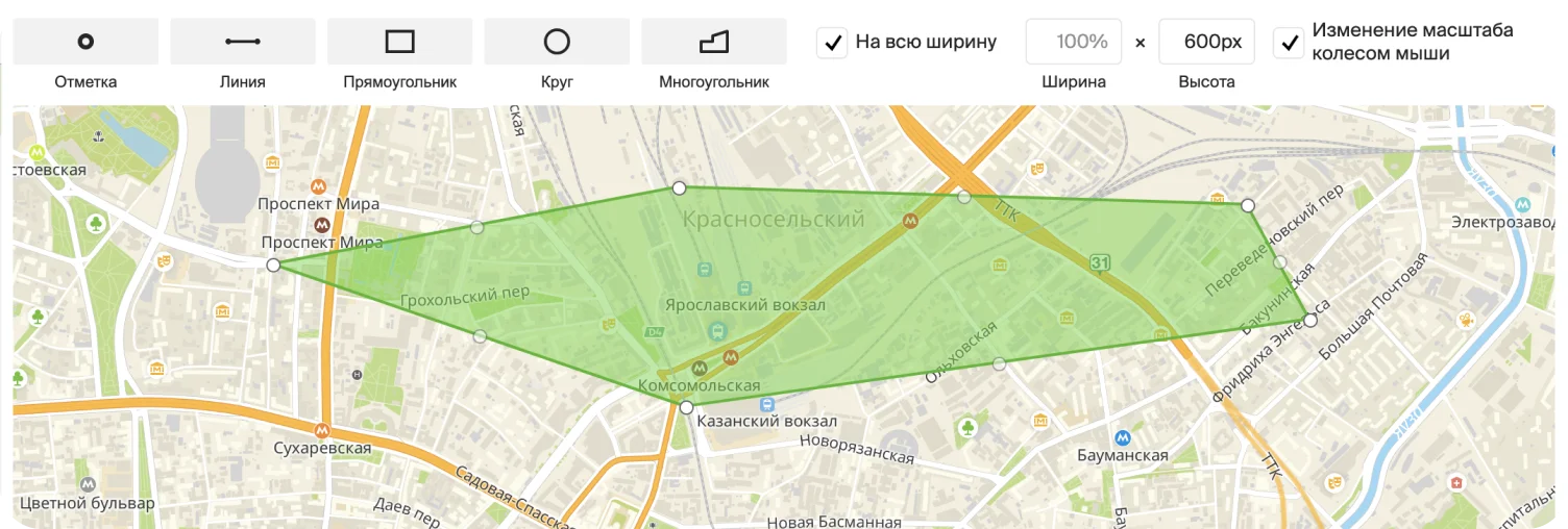
Customize the appearance of the map by using the style editor: focus on the desired objects and zones, choose the appearance and detailization.


Embed an interactive widget of a city map or a diagram of a large building on the site in a couple of clicks.
Beautiful maps
Our passion and pride is an accurate and detailed map that has everything from gates and new buildings.


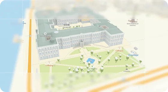
MapGL JS API
Fast, responsive and accurate 3D map for large and small screens. It runs on the WebGL engine, which provides high performance, allows you to rotate, tilt and animate the map. You can add immersive object models, floor apartments in new buildings, and other details to the map.
FloorsJS API
Indoor-plans of airports, train stations, and shopping malls for embedding on web pages – detailed floor plans of spaces with support for descriptions for each room and color-coded zones.
Static API
Allows you to embed static 2GIS maps without using JavaScript. Suitable for printing pages and tasks that don’t require interactivity. The map is updated with each request and contains up-to-date data.
Tiles API
A service for integrating a cartographic background, map fragment, or object into a geographic information service. It doesn’t add weight to the app and saves traffic.
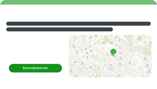
Map widget for the website
Simple tools to add an interactive map to your website. The map constructor will help you draw a delivery zone, mark branches and other objects, and add descriptions to them. And the widget for the organization will help you show information about the company.
Haven’t found the technology to solve your problem?
Fine-tuned style editor
Design a map in the style of your product and customize each element to suit your needs. Choose which details to focus on.
Edit the appearance of the map: buildings, roads, icons, fonts.
Change the color of buildings and the thickness of the outline, show them in 3D, turn them off completely, or make them translucent.
Use ready-made templates, night and day theme, or create your own.
Use the map in any project: map styles are supported in the web version and mobile apps.
Open documentation 
Four reasons to choose 2GIS