Navigation API
Powerful tools for navigation, logistics, and analytics — taking into account traffic, stops, and height and weight restrictions. Calculate up to 1,000 routes at once, including distance, time, and reachability zones

Routes for all business occasions
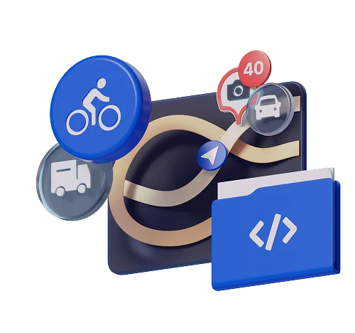
For cars, motorcycles, bicycles, public transport, scooters, trucks, as well as pedestrians
1,000+ factors used for route calculation
Accurate route planning that takes many factors into account, including road conditions
Coverage across Russia and the CIS countries
Accurate, continuously updated road data for 1,000+ citiesRoutes for all business occasions
For cars, motorcycles, bicycles, public transport, scooters, trucks, as well as pedestrians1,000+ factors used for route calculation
Accurate route planning that takes many factors into account, including road conditionsCoverage across Russia and the CIS countries
Accurate, continuously updated road data for 1,000+ citiesUse routing technologies in your projects
Build routes and optimize navigation on maps
Every day, our algorithms are used in hundreds of apps. Integrate 2GIS technologies so users get accurate routes that take into account our accumulated road data and vehicle-specific details — from scooters to trucks and specialized vehicles


Take real-world traffic conditions into account
More details
Optimize routes for logistics
More details
Track routes in real time
More details
Evaluate reachability areas: isocrones
More detailsTake real-world traffic conditions into account
Optimize routes for logistics
Build the shortest-by-time or shortest-by-distance route across multiple stops, using 2GIS’s extensive knowledge about the surrounding world
Track routes in real time
Reconstruct the actual path along the road network from GPS points or Radar API data. Analyze and display traveled routes on the map, and set up real-time monitoring
Evaluate reachability areas: isocrones
Build polygons by time or distance from a point. Use them for territory analysis, planning, and location selection on the map
Reliable geolocation in areas with weak GPS signal
Improve geolocation in weak-signal areas — indoors or in the metro, where GPS and browser data aren’t enough. The service analyzes nearby cell towers and Wi‑Fi access points via an HTTPS request and returns accurate coordinates

Reliable geolocation in areas with weak GPS signal
Improve geolocation in weak-signal areas — indoors or in the metro, where GPS and browser data aren’t enough. The service analyzes nearby cell towers and Wi‑Fi access points via an HTTPS request and returns accurate coordinates
More detailsA navigation SDK with powerful capabilities for mobile apps


The extended version of Mobile SDK for Android and iOS provides full navigation in three modes: free roam, along a route, and simulation
Build routes on-device, use offline maps with pre-download
A full set of services with multilingual support


All routing products
Get a demo API key and test the 2GIS API for your use cases

