On-Premise
Deployment of full-fledged maps, navigation services and 2GIS geoanalytics tools in a closed loop or protected cloud.

Build routes for emergency services, cash collection or public transport in a secure infrastructure.

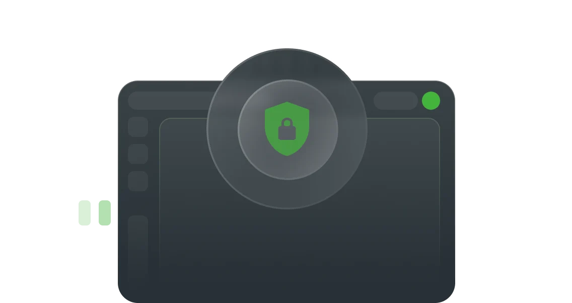
Use confidential data exclusively on your own services and in a closed loop.

Place servers closer to end users to reduce query times and make data access faster.

Gain greater control over performance and scale your infrastructure for business-critical processes.
Build routes for emergency services, cash collection or public transport in a secure infrastructure.
Use confidential data exclusively on your own services and in a closed loop.

All API tools and SDKs available for local use.
Place servers closer to end users to reduce query times and make data access faster.
Gain greater control over performance and scale your infrastructure for business-critical processes.


A full set of services and tools
Maps, directories, navigation methods, and mobile SDK — everything for private work and comprehensive solutions to business and government problems.
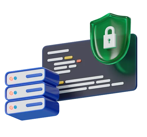
Data security is under your control
On-Premise allows you to use data on your own servers and IT infrastructure to comply with HIPPA, SOX, PCI DSS, GDPR, SOC 2, and other information security regulatory requirements.
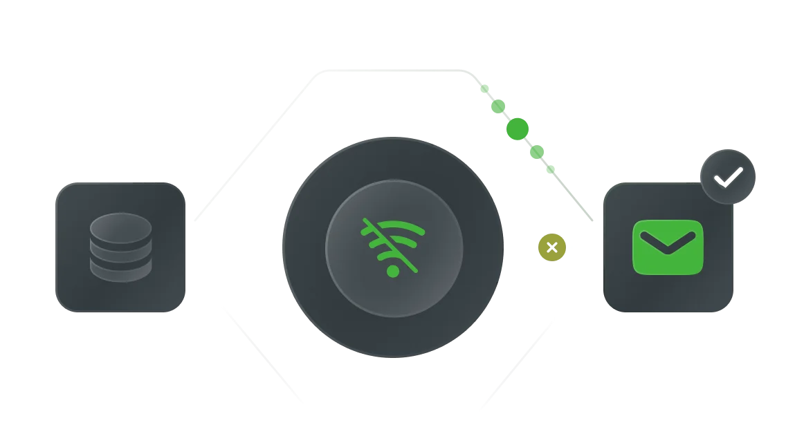
Battery life and offline operation
In design and operation, our solution doesn’t depend on the work of telecom providers.

Automated Update
Get data and service updates even in closed or offline environments [without downtime]. Geodata is updated regularly, software updates are distributed in standard containers and are suitable for any infrastructure.

Easy migration
2GIS platform solutions can be easily transferred from a closed infrastructure to a public cloud.

Customization
The software is expanded and adapted to the needs of the company with individual settings. Integration of your own data is available.


Difference in approach
There is no need to design and build products from scratch — On-Premise already includes ready-made solutions for most business tasks and is ready for operation immediately after integration.
Typical project for working with geodata


Project with on-premises GIS service
Four reasons to choose 2GIS